How to beat traffic in Calgary?
Last week, the Ecofiscal Commission launched its latest report We Can’t Get There from Here: Why Pricing Congestion is Critical to Beating It. The report explains how we can’t simply build our way out of congestion, we also need to consider incentives. The report’s central recommendation is that Canada’s four largest cities run congestion pricing pilot projects, supported by all levels of government, to generate the practical knowledge and data necessary to include pricing in our long-term urban mobility plans. But what does that mean for Calgary?
What does traffic look like in Calgary?
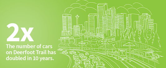
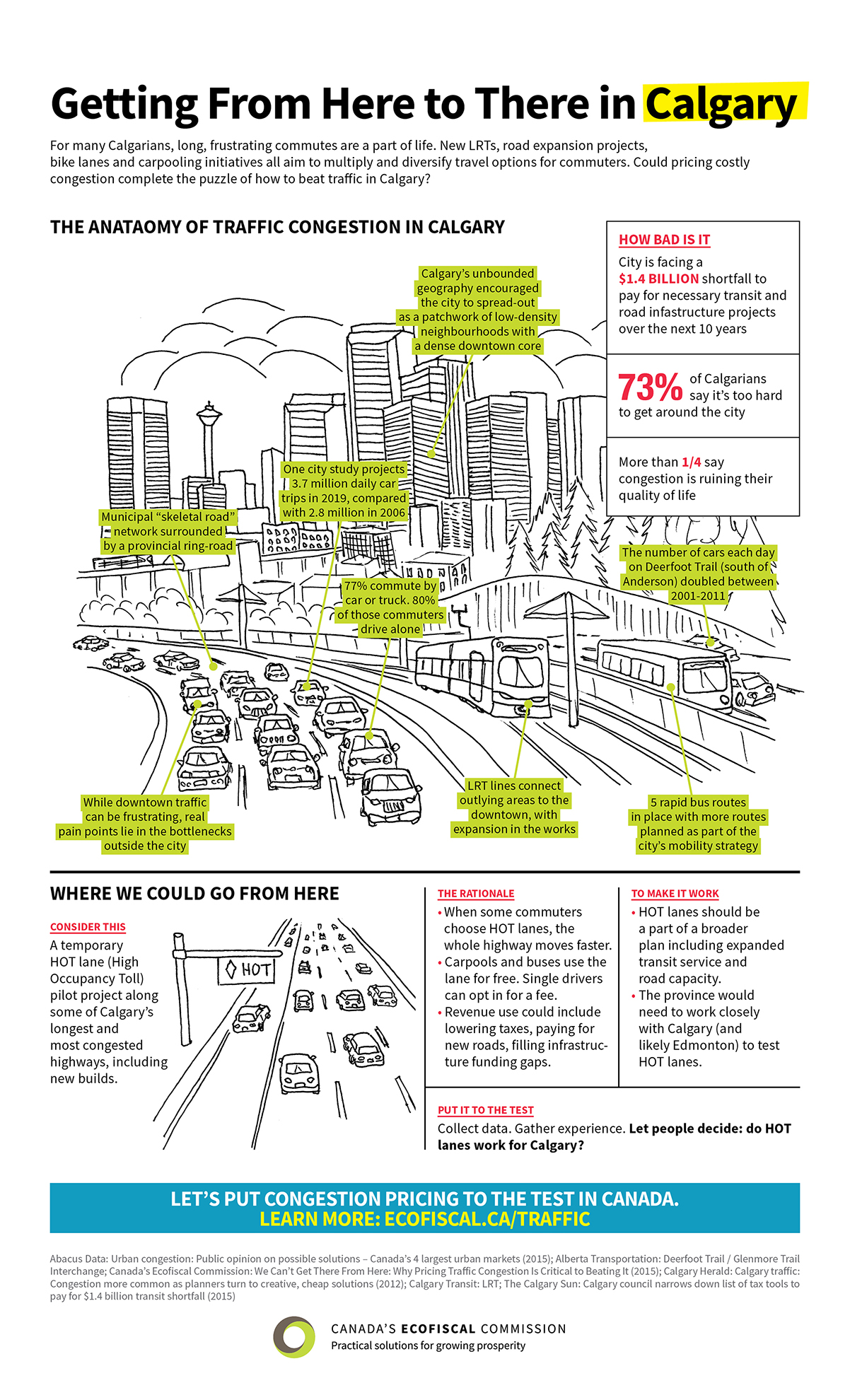
Before we dive into the specific Calgary idea for a pilot project, let’s review the traffic situation on the ground. To do that, we have a great infographic. One of the notable stats included is the fact that 73% of Calgarians say it’s too hard to around the city. Another is that the number of cars each day on Deerfoot Trail (south of Anderson) has doubled between 2001 and 2011.
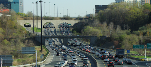
 Of course, the experience of sitting in traffic speaks for itself. Our chair, Chris Ragan, explored Calgary’s traffic first hand with journalist Helen Pike. Check out the video of their experience stuck in traffic—with heavy traffic going both ways on Deerfoot Trail.
What could congestion pricing look like in Calgary?
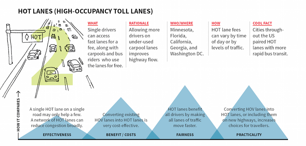
Calgary’s traffic challenge is characterized by low-density neighbourhoods, long-distance commutes, and more localized congestion problems. In this context, HOT (High Occupancy Toll) lanes—particularly on new roads where carpool lanes (HOV) are planned—could be a practical approach to reducing congestion in key locations while maintaining choice for drivers. Based on the extensive network of freeways in Calgary, a number of recent reports recommend HOT lanes as the best option to increase time-savings for commuters, with relatively low implementation costs. The Manning Foundation recently identified five major roadways as suitable for HOT lanes: Crowchild Trail, Glenmore Trail, Deerfoot Trail, 14 Street South, and Stoney Trail. See infographic snapshot below for more on HOT lanes:
Congestion pricing in Calgary thus far
Calgary implemented a dynamic pricing approach to parking in 2013, called ParkPlus, based on a model from San Francisco. Similar to San Francisco’s model, SFpark, rates vary across 27 discrete areas in Calgary to encourage more parking in underutilized areas. While still too early to determine its overall effectiveness, using demand-responsive pricing to manage parking demand is anticipated to achieve better occupancy levels. This will reduce circling for parking spots in high-demand areas, thereby improving overall traffic congestion.
In the end, the main point is that it’s time for a serious conversation about congestion pricing in Calgary. The three legged stool of roads and infrastructure, transit and congestion pricing can’t sit properly without the congestion pricing leg. So let’s keep the discussion moving.
Read the Report: We Can't Get There from Here


Comments are closed.